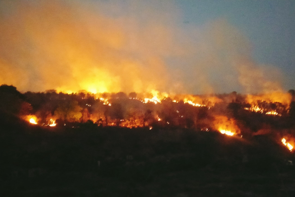
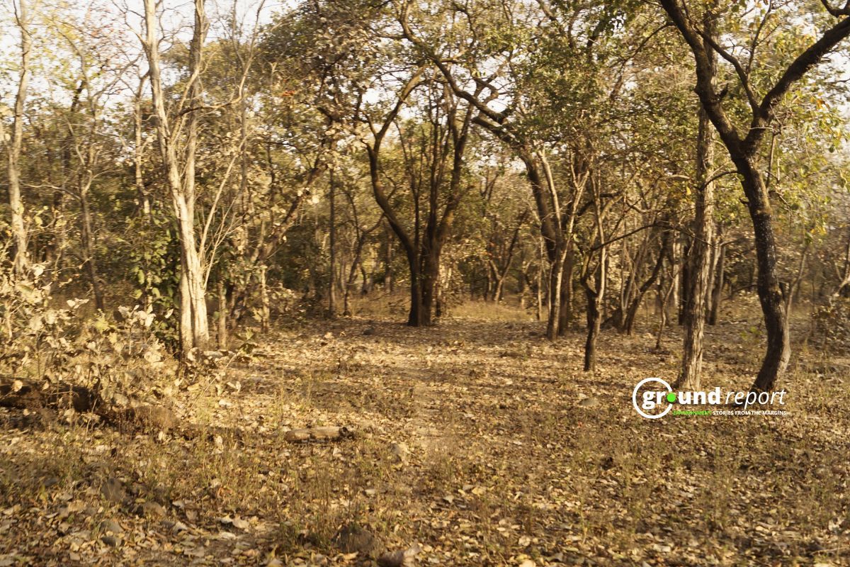
Last month, a massive forest fire was seen in the forests falling within the limits of Bhopal. The forest located near the Kaliyasot Dam and Water and Land Management Institute (WALMI) here caught fire on Thursday, April 24. This forest was burning in fire for more than 12 hours. This is the first time that such a big fire has been seen in the forests of Bhopal.
Now, according to the data given in Parliament, there have been an average of 66 cases of forest fire every day in the state in 2023-24. However, according to government data, there has been a decrease in cases of forest fire in the state in the last 4 years. In the year 2023-24, 15,878 incidents of forest fire were seen in the state.

Maximum fire alerts recorded in state
It is worth noting that, according to the Large Forest Fire Monitoring Program of the Forest Survey of India (FSI), which comes under the Ministry of Environment, Forest and Climate Change, the highest number of large active fires in the country were recorded in Madhya Pradesh during the week from April 27 to May 3, 2025.
According to these figures, a total of 315 large active fires have been recorded across the country. Of these, Madhya Pradesh has the highest number, with 98 incidents. Maharashtra follows in second place, with 50 incidents.
If the figures from 1 November 2024 till now are also seen, then the maximum forest fire alerts in all the states have been recorded in the forests of Madhya Pradesh. According to the data till May 3, 29,385 fire alerts have been registered through Simple Network Paging Protocol (SNPP). Let us tell you that forest fire is detected with the help of satellite through this application.
In Madhya Pradesh, the highest number of fire alerts in the last 4 weeks have been recorded in Neemuch. 24 fire alerts were recorded here which is 1.1% of the total alerts in Madhya Pradesh. However, these figures of fire alerts include fires in fields apart from forests. Its verification is done by the Forest Department by visiting the site.
It is worth noting that in a research paper published in August 2024, Vibha Sahu of the Indian Institute of Forest Management and Mohammad Amin Khan of IIT Indore said that the forests of Khandwa and North Betul Circle are at the highest risk in terms of fire. According to the research of these scientists, incidents of fire in both these forest circles are increasing every year. They found that 45% of the forest of Khandwa and 50 percent of the forest of North Betul fall in high and very high risk zones.
Mohammad Asif Siddiqui, a senior journalist based in Khandwa and a faculty member at Makhanlal Chaturvedi Journalism University, explains,
“The Khalwa and Kalibhit areas of Khandwa are home to large numbers of teak trees. During summer, their dry leaves fall and catch fire easily, making these forests highly vulnerable to wildfires.”
This vulnerability is further emphasised by Rangaiah Sreenivasa Murthy, former Additional Principal Chief Conservator of Forests in Madhya Pradesh, who adds, “Teak leaves catch fire the fastest in summer. So, wherever these trees are abundant, those forests are at a higher risk of forest fires.” Together, their insights highlight the critical role of teak trees in exacerbating the fire risks in these regions.
Between 2001 and 2023, Global Forest Watch reports that fires have destroyed 434 hectares of tree cover in Madhya Pradesh, accounting for 4.8% of the state’s total tree cover. Murthy warns that the impact of these fires goes beyond immediate damage. He says,
“If fires continue to ravage the forests, the soil’s fertility decreases over time. This ongoing destruction not only harms the forest in the short term but also leads to the long-term loss of biodiversity, further destabilising the forest ecosystem.”
How prepared is forest deptt?
In the recent fire incident in Bhopal, about 50 acres of forest were affected. This area, which includes the villages of Damkheda and Chandanpura, was declared a biodiversity heritage site in 2024. Despite the significance of the site, the forest department in Bhopal lacked the necessary resources to control the fire effectively. The incident revealed a critical gap in preparedness for managing such emergencies in vital ecological zones.
Local environmental activist Rashid Noor pointed out the inefficiency, stating, “While drone technology is being used globally to combat forest fires, the forest department here is still relying on outdated methods.” This situation underscores the need for more modern, effective fire management strategies in critical areas like this.
Siddique shares the same concern about Khandwa. He says, “The forest areas in Khandwa that researchers mention are interior regions. Despite the growing fire risks, the forest department still uses old, manual methods to fight fires.” This outdated approach makes it harder to control the rising number of fires in these vulnerable forests.
It is worth noting that the fund released by the Compensatory Afforestation Fund Management and Planning Authority (CAMPA) under the Annual Plan of Operation for forest fire prevention and control activities has been continuously increased. In the financial year 2020-21, Rs 14.70 crore was released by this central authority. This fund had increased to 25 crores by 2023-24.

The same is the case with the fund released by the central ministry. The central government has steadily increased the funds allocated for forest fire control. In 2019, the state received Rs 327.29 lakh. By 2023-24, this amount rose to Rs 775.02 lakh, except in 2021. The increase shows a continuous effort to boost financial support for forest fire management.

However, Madhya Pradesh has launched an AI-based real-time forest alert system for the first time in India. It aims to monitor illegal encroachment and changes in forest area. The pilot project is currently implemented in districts like Shivpuri, Guna, Vidisha, Burhanpur and Khandwa, which are notorious for tree felling and encroachment.
The system analyses satellite images taken at different times using Google Earth Engine. The system can detect even small changes of up to 100 square metres. When a change is detected, a custom AI model identifies potential land use change, encroachment or forest loss and sends alerts to field staff through a mobile app.
Field officials inspect the site based on these alerts and upload GPS-tagged photographs, voice recordings and written comments to the app. The app also includes tools like geo-fencing and distance measuring.
Though the project is currently in the pilot phase, officials hope to roll it out across the state. But this technology can only detect forest fires. Despite having so much funds, what measures will be taken to deal with it on time is still an unanswered question.
Support us to keep independent environmental journalism alive in India.
Keep Reading
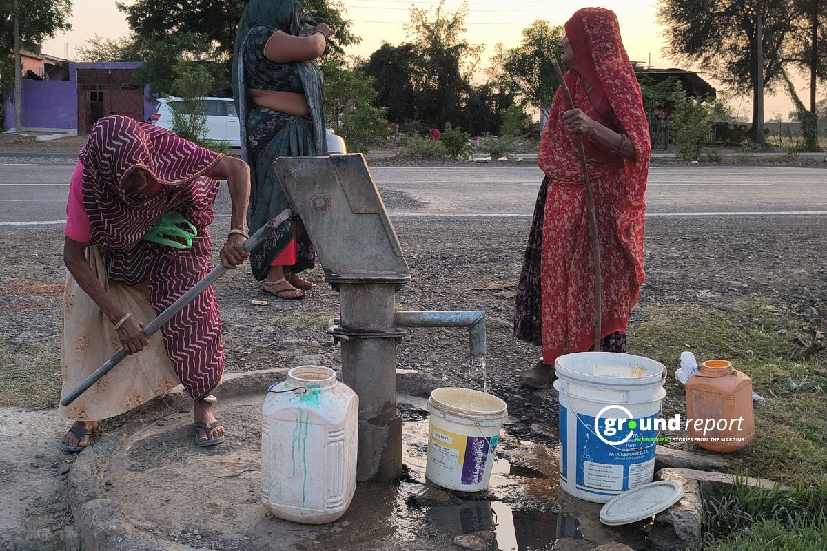
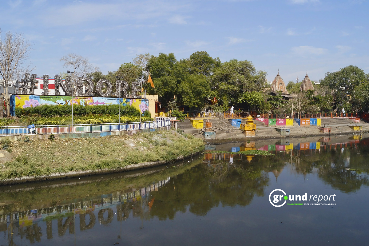
The costliest water from Narmada is putting a financial burden on Indore
Indore’s Ramsar site Sirpur has an STP constructed almost on the lake
Indore Reviving Historic Lakes to Combat Water Crisis, Hurdles Remain
Indore’s residential society saves Rs 5 lakh a month, through rainwater harvesting
Follow Ground Report on X, Instagram and Facebook for environmental and underreported stories from the margins. Give us feedback on our email id greport2018@gmail.com.
Don’t forget to Subscribe to our weekly newsletter, Join our community on WhatsApp, and Follow our YouTube Channel for video stories.