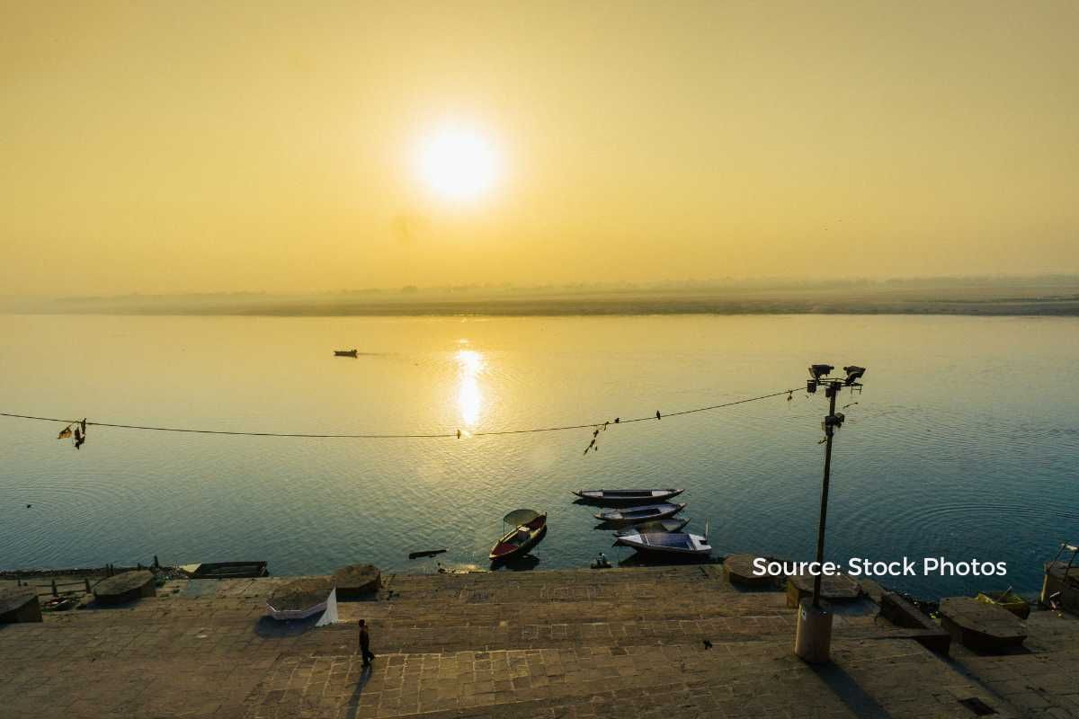
The ground beneath the major Ganga ghats in Varanasi is sinking, and many stairways and platforms are reported to be cracking. Scientists say that if steps are not taken in time, many historical temples situated on the banks of the Ganges will be lost.
What are the reasons?
Actually, due to the strong current of river Ganga, the land is being eroded. The Ganges deposits sand in the east of Varanasi. Due to this sand island is being formed on the right side of the Ganga. Because of this island, all the water pressure is falling on the Ghats. Sand mining has been banned on the other side of the river Ganga.
The second reason is that it is a seismic zone, and fault lines cross the Ganges river basin, due to which tectonic activities keep happening here. Many times mild tremors of earthquakes have also been felt here. In such a situation, if soil erosion is not stopped, then even a slight tremor of an earthquake can affect Varanasi in the future.
The incision of the Ganga
The third reason is the crescent shape of the river Ganga in Varanasi. Due to this, the current of the river is sharp on the Varanasi side.
According to Research Gate, Near Varanasi where presently due to incision, the Ganga River is confined within a 1-1.5 km wide narrow valley, earlier it had a much wider valley which was 10-15 km wide. With time it had migrated eastward leaving behind a huge abandoned meander belt on which the oldest city of Varanasi is located.
The location of Varanasi represents the older floodplain of the Ganga River. The Ganga River again shifted westward to its present location and got incised within the River Valley Terrace Surface forming a high cliff towards Ramnagar township and a gradually rising terrace surface towards Varanasi.
The incision of the Ganga seems to be related to tectonics along a fault line passing in a NE-SW direction and also controlling the course of the river
Also, there is neither any research nor any work has been done regarding erosion, siltation, and sand deposition in the Ganga. In the last 5-10 years, it is necessary to conduct research on the damage caused to the ghats by the banks of the river Ganga.
Till now the situation at Panchganga, Rajghat remains serious. Even taking a bath here is like inviting an accident. Wherein deep river cutting can be clearly seen under Hanuman Ghat. Parts of stairs and platforms have started sinking at Prabhughat, Chowki Ghat, Manmandir, Manikarnika, and Panchganga Ghats.
Read More
- Why ISRO has withdrawn its report on the Joshimath land subsidence?
- Joshimath-like cracks in Kashmir’s Doda town, What are the similarities?
- Major coastal cities are sinking faster than sea levels are rising
- Joshimath sinking: Natural or man-made disaster?
Follow Ground Report for Climate Change and Under-Reported issues in India. Connect with us on Facebook, Twitter, Koo App, Instagram, Whatsapp and YouTube. Write us on GReport2018@gmail.com


