ON GROUND
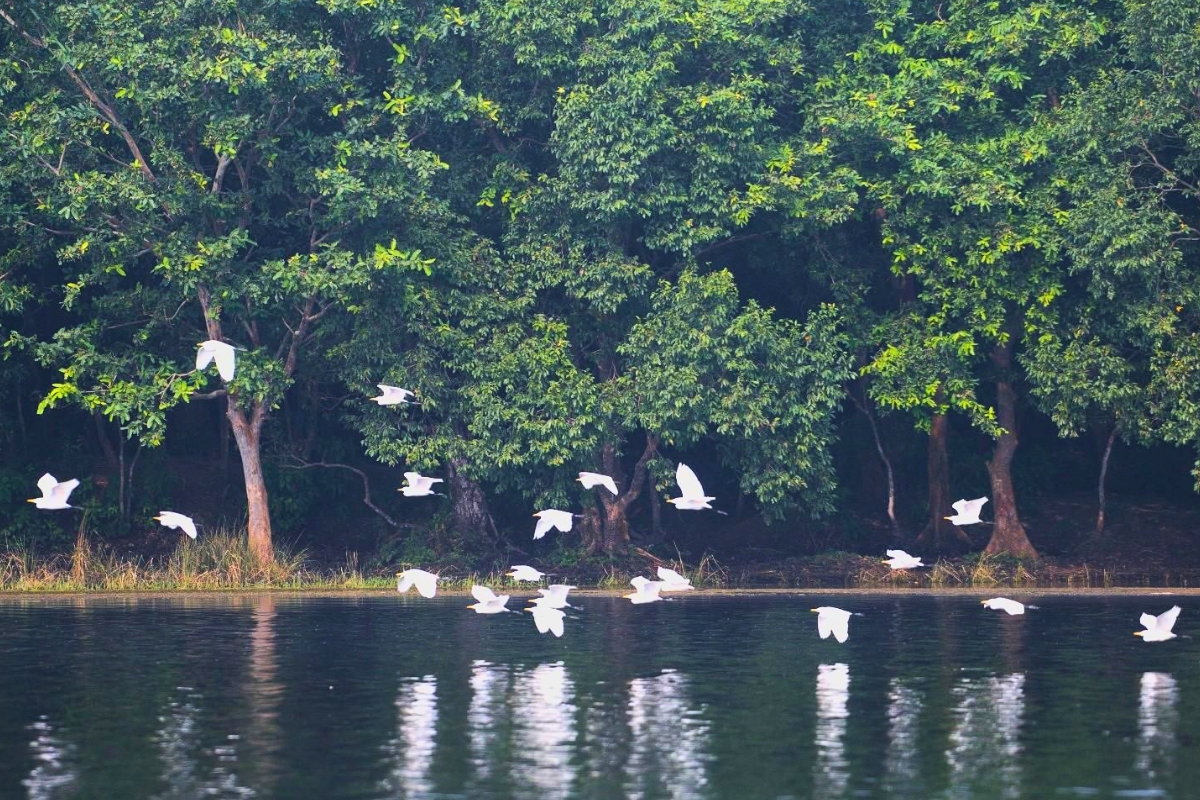
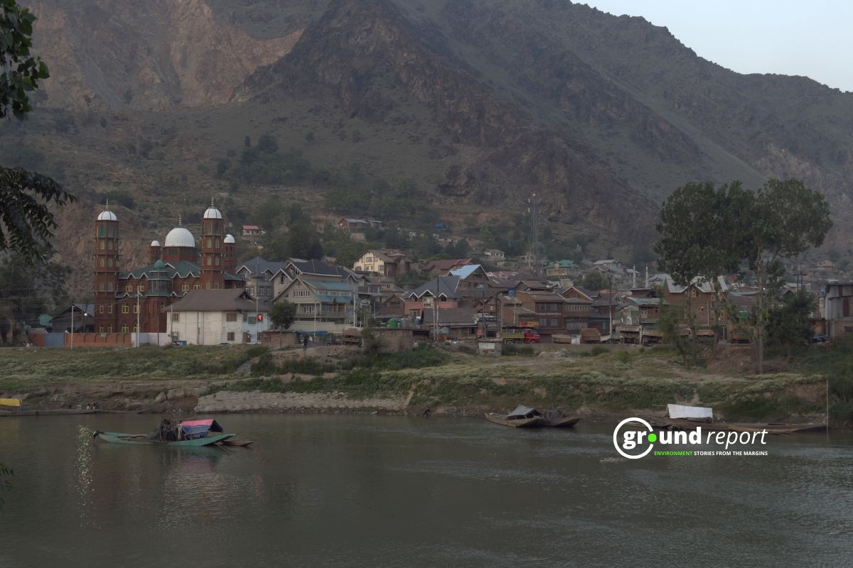
What does Ramsar status actually change for Bihar’s wetlands?
So, what has Ramsar status changed for water bodies and wetlands in Bihar? “There is definitely a shift—wetlands are no longer seen as wastelands,”
DAILY PODCAST
Listen Important Environmental Headlines

Video reports
Digital dispatches from our journalists


Explore Formats
Browse by Topics
Support Ground Report
We invite you to join a community of our paying supporters who care for independent environmental journalism.
When you pay, you ensure that we are able to produce on-ground underreported environmental stories and keep them free-to-read for those who can’t pay. In exchange, you get exclusive benefits.
When you pay, you ensure that we are able to produce on-ground underreported environmental stories and keep them free-to-read for those who can’t pay. In exchange, you get exclusive benefits.
mORE GROUND REPORTS
Environment stories from the margins


Browse by Topics
ग्राउंड रिपोर्ट हिंदी
पर्यावरण से जुड़ी ज़मीनी ख़बरें
What does Ramsar status actually change for Bihar’s wetlands?
So, what has Ramsar status changed for water bodies and wetlands in Bihar? “There is definitely a shift—wetlands are no longer seen as wastelands,”
VIDEO REPORTS
Digital dispatches from our journalists
- Long Form Video Reports
- News Analysis
- News In One Minute
Support Ground Report
We invite you to join a community of our paying supporters who care for independent environmental journalism.
When you pay, you ensure that we are able to produce on-ground underreported environmental stories and keep them free-to-read for those who can’t pay. In exchange, you get exclusive benefits.
When you pay, you ensure that we are able to produce on-ground underreported environmental stories and keep them free-to-read for those who can’t pay. In exchange, you get exclusive benefits.
LATEST
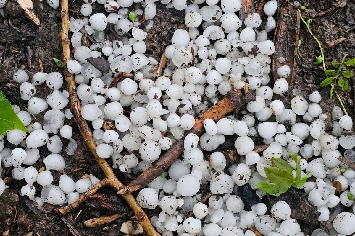
EXTREME WEATHER
FEATURED
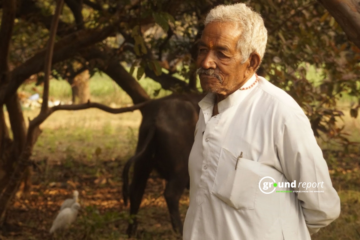
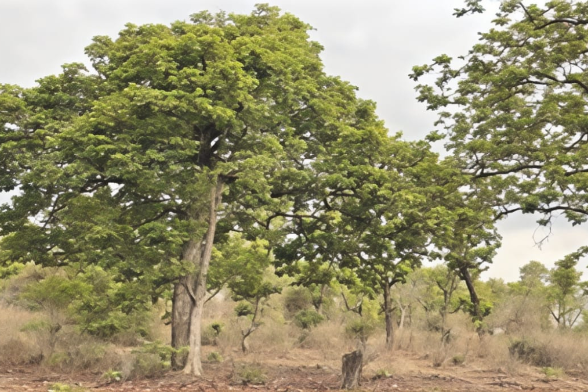
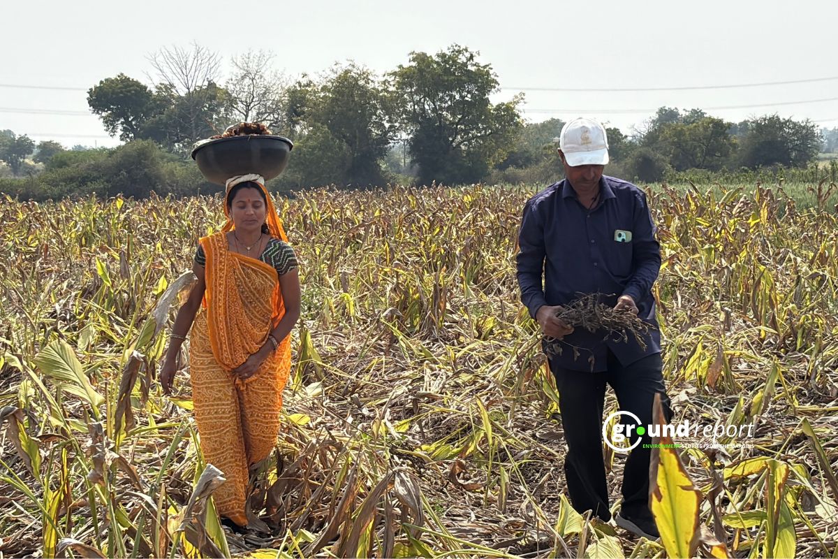
How Two Farmers in Madhya Pradesh Reimagined Their Fields Through Agroforestry
Explore how agroforestry transformed a family farm in Madhya Pradesh, enhancing yields and sustainability through intercropping.
AGRICULTURE
BIODIVERSITY
ENERGY

HEALTH

ग्राउंड रिपोर्ट हिंदी
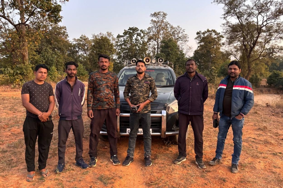
छत्तीसगढ़ के जंगलों में ‘हाथी मित्रों’ के भरोसे सुलगती ज़िंदगी: जुनून, जोखिम और ₹10,000 का संघर्ष
प्रकाश कहते हैं, “बचपन में जब दूसरे बच्चे कहानियों में हाथियों को देखते थे, मैं उन्हें पगडंडियों पर महसूस कर रहा था। मुझे जंगल से प्यार है, और यही वजह है कि मैंने ‘हाथी मित्र’ बनना चुना।”