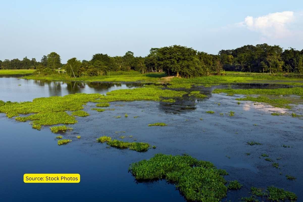
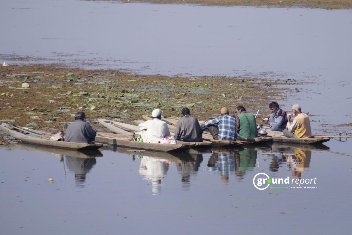
Majuli, the world’s largest inhabited riverine island is situated amidst the mighty Brahmaputra and can be reached only through ferries from the city of Jorhat. It is also known for ‘Satras’ or monasteries constructed by Assamese saint Srimanta Sankardeva and his disciple Madhavdev. The monasteries are the abode of Assamese neo-Vaishnavite culture.
Therefore, it is often called the ‘Cultural Capital of Assam’ for representing the unique and colorful culture of Assam. It has been a place for pilgrimage for the past 400 years.
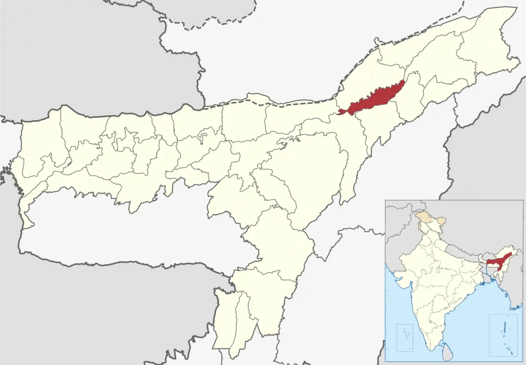
The island is rich in biodiversity being surrounded by water bodies like rivers, swamps, channels, beels, and wetlands.
In addition, the island is home to many vulnerable and endangered species such as lesser adjutant stork, Siberian crane, wild geese, and ducks.
Read more: Majuli, India’s disappearing island
During winters, migratory birds from places like Ladakh, Nepal, China, Tibet, and Europe flock to the Majuli wetlands.
Flood and bank erosion
But the island has been facing severe erosion due to flooding of the Brahmaputra river causing a threat to its rich flora and fauna.
The flood situation in Assam is not a new issue, recurring yearly with the severity increasing every year. Majuli has been facing floods and riverbank erosion since way back in history. However, the magnitude increased due to the great earthquakes of 1897 and 1950 which changed the island’s topography.
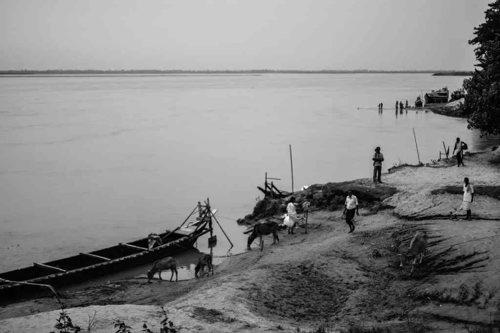
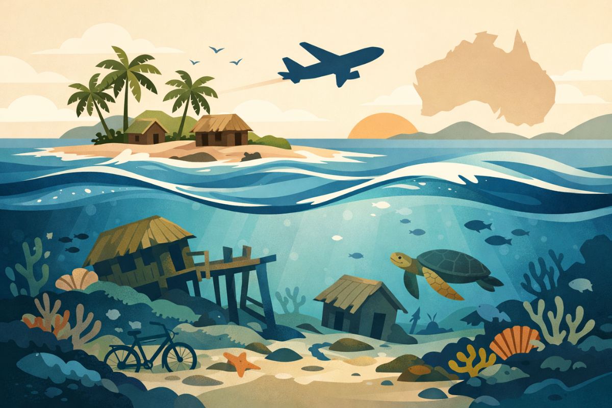
Every year the island is washed away by the turbulent waters of the Brahmaputra river causing bank erosion, uprooting hundreds of families from their homes, and threatening wildlife. The island has been reduced from 1250 sq. km to 400 sq. km over the last 100 years losing more than 60% of land due to erosion.
Read more: IMPACT OF FLOOD AND RIVERBANK EROSION IN MAJULI, ASSAM (INDIA) AND ITS RESTORATION MEASURES
The cause of the floods and erosion ultimately points to the issue of climate change, erratic monsoon patterns, and increased temperature resulting in the melting of glaciers which leads to a rise in the water level of the Brahmaputra river.
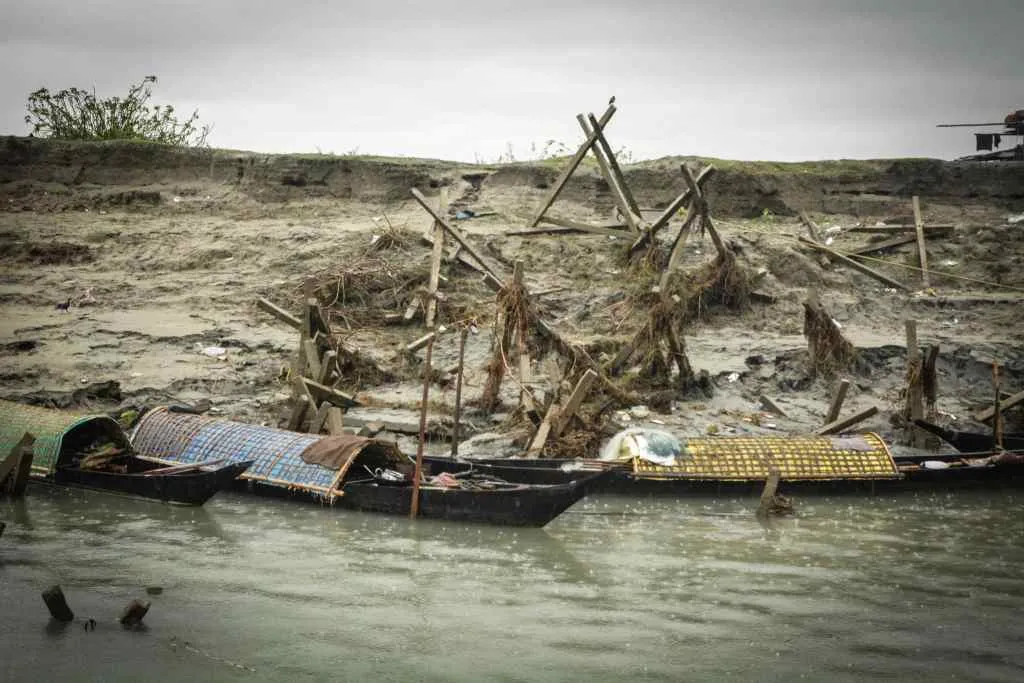
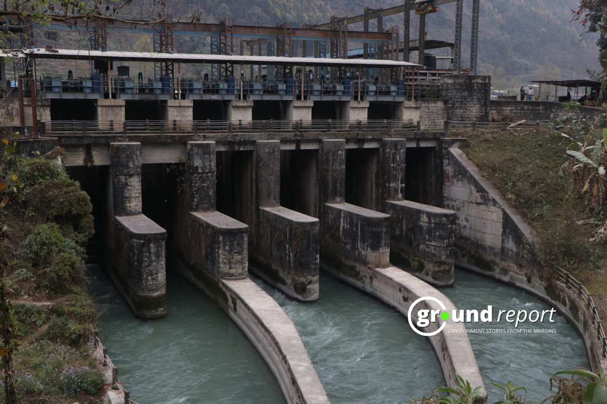
Another reason includes the various hydroelectric and dam projects by neighboring countries like Tibet and China. These projects are an attempt to control the flow of the river in India as its origin is in Tibet. The water then flows through China and finally enters India through Arunachal Pradesh.
Read more: Majuli Cultural Landscape Management Authority
Steps were taken by the government
Numerous organizations have been involved in the preservation and protection of the island. Various schemes were implemented one of which was a three-phase scheme at the end of which around 70% of the physical progress was achieved.
The work under the scheme included raising and strengthening embankments, river bank revetments, construction of raised platforms, and plugging of breaches were done to prevent further erosion. In 2018, the central government sanctioned Rs. 233 crore project to save the island. The budget consisted of geo-bag bank revetment works, major bank protection, and more.
As of now, More than 30 NGOs are also involved to maintain the ecological balance. The interventions include and protection of endangered birds and animals. In addition, it promotes the socio-economic development of the island.
Support us to keep independent environmental journalism alive in India.
Keep Reading
The costliest water from Narmada is putting a financial burden on Indore
Indore’s Ramsar site Sirpur has an STP constructed almost on the lake
Indore Reviving Historic Lakes to Combat Water Crisis, Hurdles Remain
Indore’s residential society saves Rs 5 lakh a month, through rainwater harvesting
Follow Ground Report on X, Instagram and Facebook for environmental and underreported stories from the margins. Give us feedback on our email id greport2018@gmail.com.
Don’t forget to Subscribe to our weekly newsletter, Join our community on WhatsApp, and Follow our YouTube Channel for video stories.
