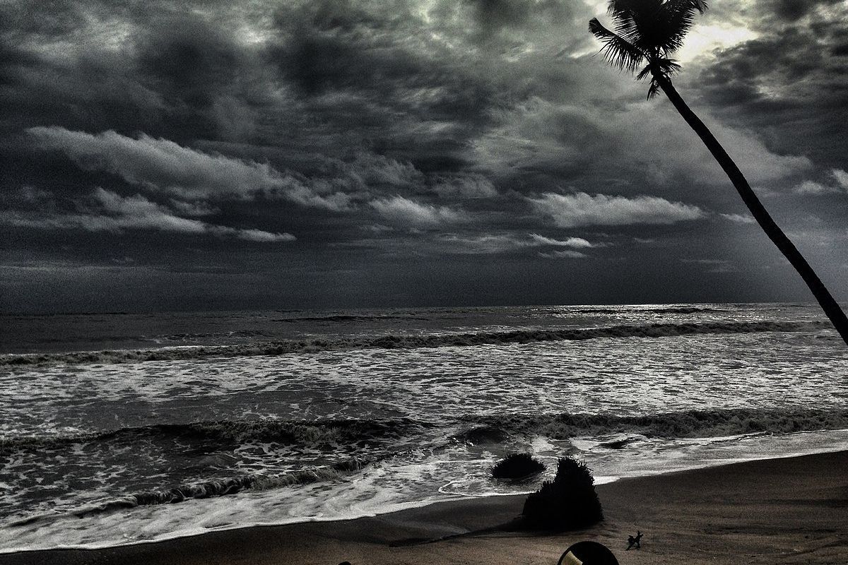
The Southwest Monsoon is set to advance further into various parts of the country, according to the Meteorological Department. Favourable conditions are expected for the monsoon to progress into the remaining parts of central Arabian Sea, Karnataka, South Maharashtra, Telangana, and coastal Andhra Pradesh in the next three days.
The monsoon will likely advance into South Chhattisgarh and South Odisha, as well as more parts of the west-central and north-west Bay of Bengal.
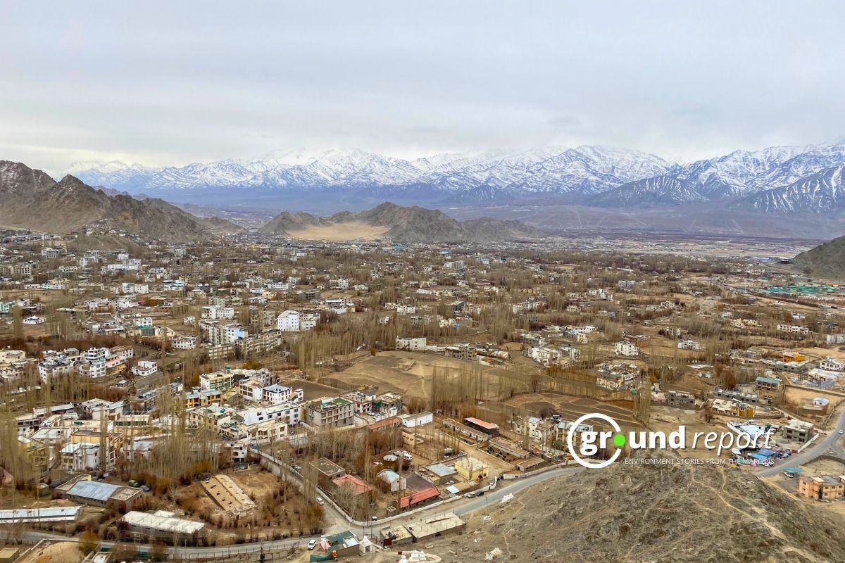
In North India, a new western disturbance is active as a cyclonic circulation at lower levels over Iran and its vicinity. Southwesterly winds from the Arabian Sea over the plains of North-West India are expected to continue for the next three to four days, leading to lightning and light rain in Jammu and Kashmir, Ladakh, Gilgit-Baltistan, Muzaffarabad, Himachal Pradesh, and parts of Uttarakhand during the next four to five days. These hilly states may receive rainfall ranging from 0.1 mm to 15.5 mm, with the Meteorological Department predicting hailstorms and stormy winds in some areas of Uttarakhand today.
The northern plains are expected to have light rain, lightning, and stormy winds in Punjab, Haryana, Chandigarh, Delhi, western Uttar Pradesh on June 5-7, eastern Uttar Pradesh on June 5, and some parts of Rajasthan during June 5-8, with rainfall ranging from 0.1 mm to 15.5 mm.
Dust storms are expected in western Uttar Pradesh, Punjab, Haryana, Chandigarh, and Delhi today, and in western Rajasthan during June 5-8, and eastern Rajasthan from June 6-8.
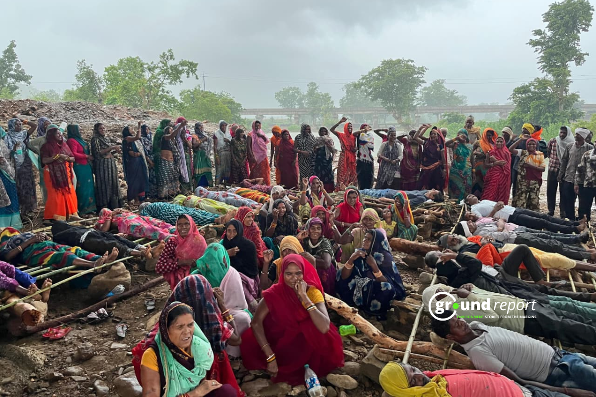
Heavy rains are expected in various parts of Andaman and Nicobar Islands, Sub-Himalayan West Bengal, Sikkim, Assam and Meghalaya, Tamil Nadu, Puducherry and Karaikal, Kerala and Mahe, Karnataka, with rainfall ranging from 64.5 mm to 115.5 mm.
Expect showers with stormy winds and lightning in Madhya Pradesh, Vidarbha, Chhattisgarh, West Bengal, Sikkim, Bihar, and North Interior Karnataka. Thunderstorms with strong winds are forecast in Andaman and Nicobar Islands, Jharkhand, Odisha, Nagaland, Manipur, Mizoram, Tripura, Tamil Nadu, Puducherry, Karaikal, Kerala, Mahe, Telangana, and South Interior Karnataka.
Heat-wave is expected in Punjab, Haryana, Chandigarh, Delhi, Uttar Pradesh, Rajasthan, East Madhya Pradesh, Bihar, Jharkhand, and Odisha.
The Meteorological Department has warned fishermen to stay away from the sea, as storm winds blowing at speeds of 35-45 kmph are likely to intensify to 55 kmph over the coasts of South Maharashtra, Konkan and Goa, Gulf of Mannar, Comorin area, south and adjoining central Bay of Bengal, and north Andaman Sea. Additionally, storm winds at 45-55 kmph over the Somalia coast, southwest, and west-central Arabian Sea are expected to intensify to 65 kmph.
Yesterday, rainfall was recorded in parts of Sub-Himalayan West Bengal, Sikkim, Assam, Meghalaya, Nagaland, Manipur, Mizoram, Tripura, Madhya Maharashtra, Coastal Karnataka, North Interior Karnataka, and Lakshadweep, with some areas receiving more than 1 cm of rain, including Sangli (6 cm), Pune (2 cm), Panaji (5 cm), Kailashahar (4 cm), Ramagundam (3 cm), Panagarh (2 cm), Jagdalpur (2 cm), and Kottayam (2 cm).
Follow Ground Report for Environmental News From India. Connect with us on Facebook, Twitter, Koo App, Instagram, Whatsapp and YouTube. Write us on GReport2018@gmail.com and subscribe our free newsletter.
Don’t forget to check out our climate glossary, it helps in learning difficult environmental terms in simple language.