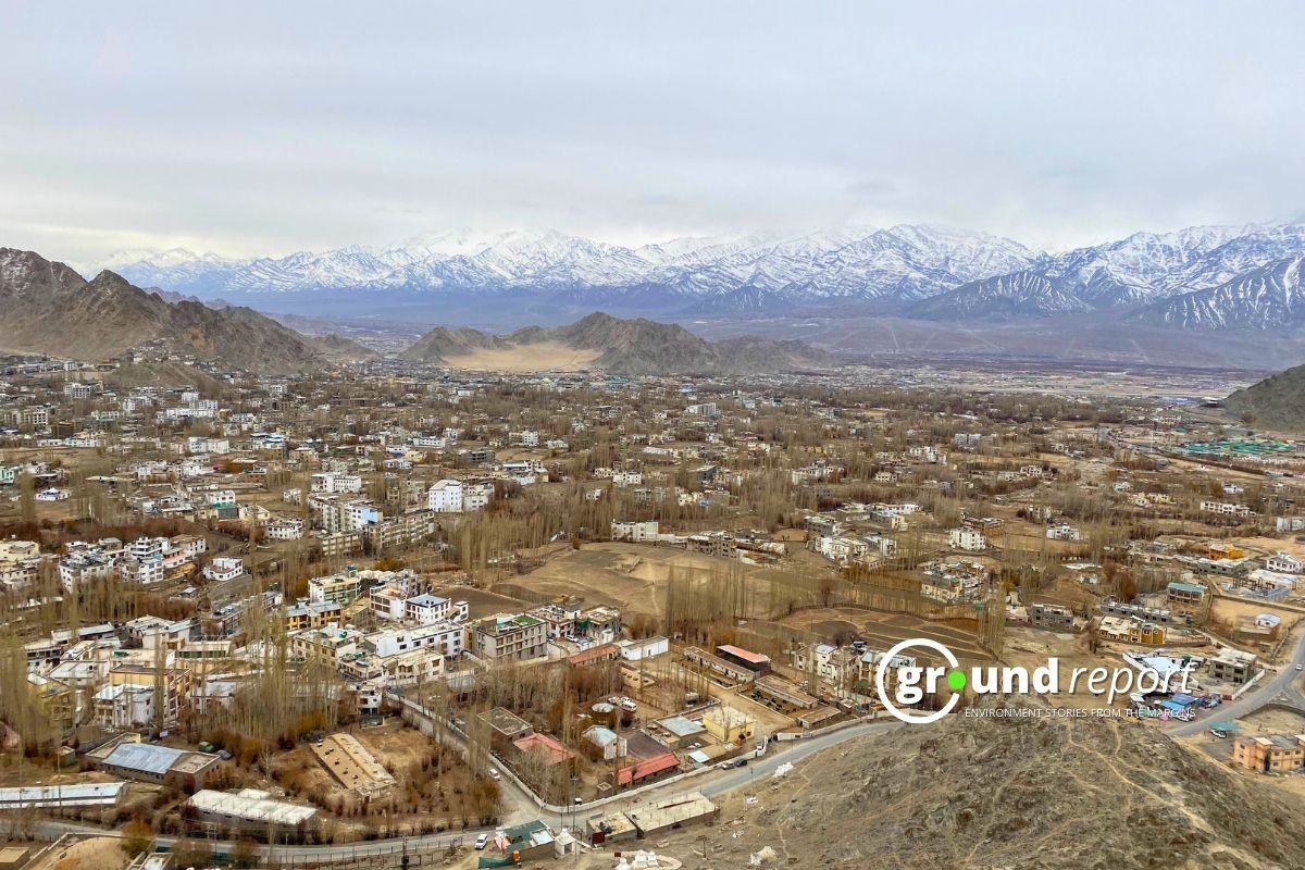
A massive forest fire erupted Thursday morning near Nadipar in the Dirang subdivision of Arunachal Pradesh’s West Kameng district, scorching several acres of forest land and triggering a large-scale firefighting response.
The fire, fuelled by strong winds, began in the Nadipar forest area and spread rapidly, threatening to reach Zimthung village. Firefighters from the Indo-Tibetan Border Police (ITBP), Sashastra Seema Bal (SSB), local police, and fire tenders from Bomdila joined forces with residents to battle the flames under challenging conditions.
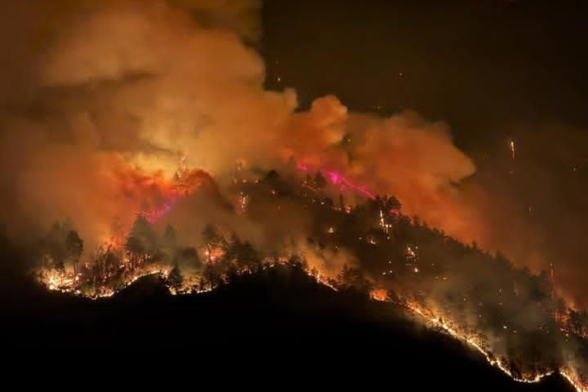
Massive forest fire engulfs Dirang town in Arunachal Pradesh, India!
The situation is dire, with flames spreading rapidly.
Firefighters on the ground, battling the inferno.#ArunachalPradesh #ForestFire #India pic.twitter.com/0apE1M23Iy
— Facts Prime (@factsprime35) April 24, 2025
As of Thursday evening, the firefighting operation was still underway. High winds have hampered containment efforts, increasing concern among locals and officials. However, Dirang MLA Phurpa Tsering, while speaking to the media, reassured, “The situation is under control now. We are working round the clock with all available resources.”
Why is this happening?
Experts warn that such fires are not isolated incidents. They are part of a larger pattern observed across India, especially in ecologically sensitive zones like the Northeast. Scientific studies have long flagged the months of March to May as peak forest fire season.
Research highlights how climatic factors—such as rising temperatures, dry vegetation, and strong winds—combine with human activities like shifting cultivation (jhum) to create fire-prone conditions. Ahmad et al. (2018) noted that Arunachal Pradesh sees nearly 73% of its annual forest fires in March and April alone.
A recent study identified twelve key fire-influencing factors, ranging from forest health and canopy density to temperature, precipitation, and human interference. Their analysis, based on two decades of satellite data, revealed how these elements interact to drive fire frequency and intensity.
Support us to keep independent environmental journalism alive in India.
Keep Reading
The costliest water from Narmada is putting a financial burden on Indore
Indore’s Ramsar site Sirpur has an STP constructed almost on the lake
Indore Reviving Historic Lakes to Combat Water Crisis, Hurdles Remain
Indore’s residential society saves Rs 5 lakh a month, through rainwater harvesting
Follow Ground Report on X, Instagram and Facebook for environmental and underreported stories from the margins. Give us feedback on our email id greport2018@gmail.com.
Don’t forget to Subscribe to our weekly newsletter, Join our community on WhatsApp, and Follow our YouTube Channel for video stories.