
ON GROUND

Integrated Pest Management: Some Costs Saved, Question of Scale Remains Unanswered
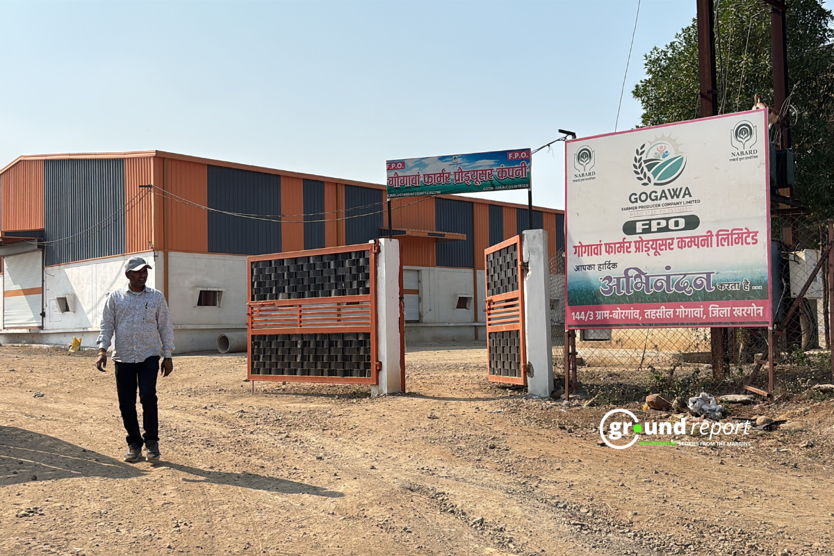
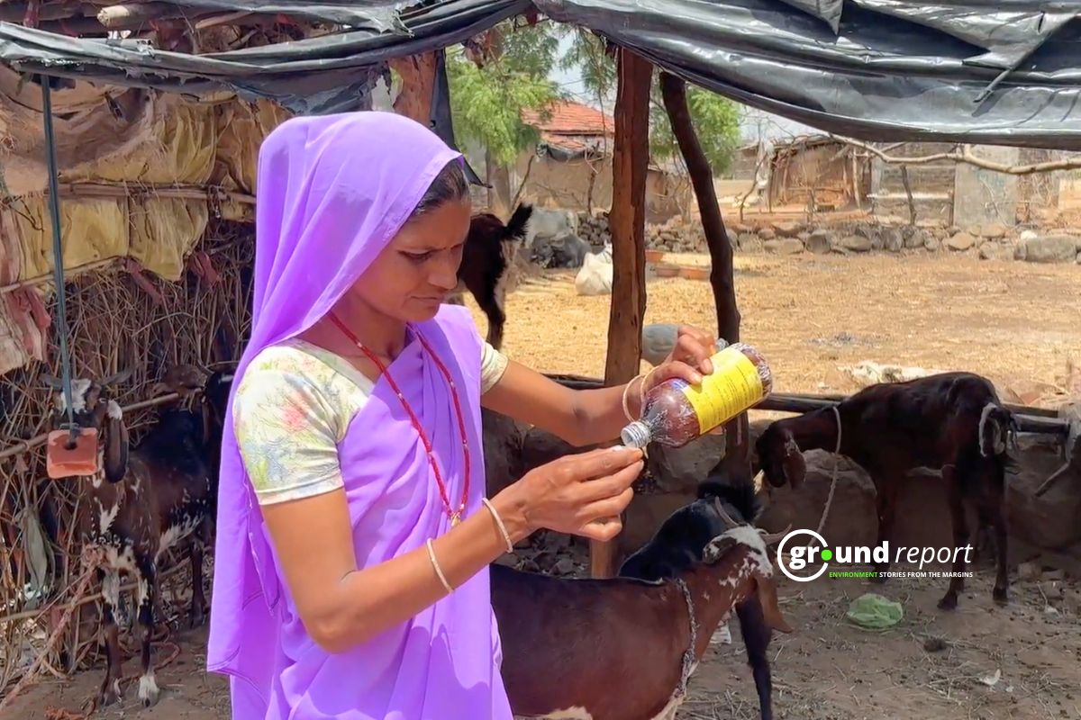
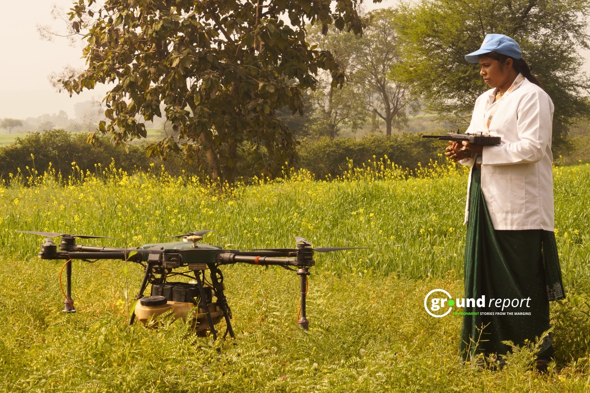
Khargone’s chili farmers are saving their costs and harvesting through integrated pest management. However, the spread of this technology remains limited in the country.
DAILY PODCAST
Listen Important Environmental Headlines


Video reports
Digital dispatches from our journalists
Load More
Explore Formats
Browse by Topics
Support Ground Report
We invite you to join a community of our paying supporters who care for independent environmental journalism.
When you pay, you ensure that we are able to produce on-ground underreported environmental stories and keep them free-to-read for those who can’t pay. In exchange, you get exclusive benefits.
When you pay, you ensure that we are able to produce on-ground underreported environmental stories and keep them free-to-read for those who can’t pay. In exchange, you get exclusive benefits.
mORE GROUND REPORTS
Environment stories from the margins


Browse by Topics
ग्राउंड रिपोर्ट हिंदी
पर्यावरण से जुड़ी ज़मीनी ख़बरें


Integrated Pest Management: Some Costs Saved, Question of Scale Remains Unanswered
Khargone’s chili farmers are saving their costs and harvesting through integrated pest management. However, the spread of this technology remains limited in the country.
VIDEO REPORTS
Digital dispatches from our journalists
Support Ground Report
We invite you to join a community of our paying supporters who care for independent environmental journalism.
When you pay, you ensure that we are able to produce on-ground underreported environmental stories and keep them free-to-read for those who can’t pay. In exchange, you get exclusive benefits.
When you pay, you ensure that we are able to produce on-ground underreported environmental stories and keep them free-to-read for those who can’t pay. In exchange, you get exclusive benefits.
LATEST
EXTREME WEATHER
FEATURED
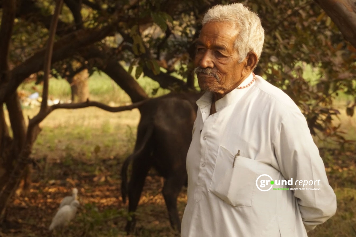
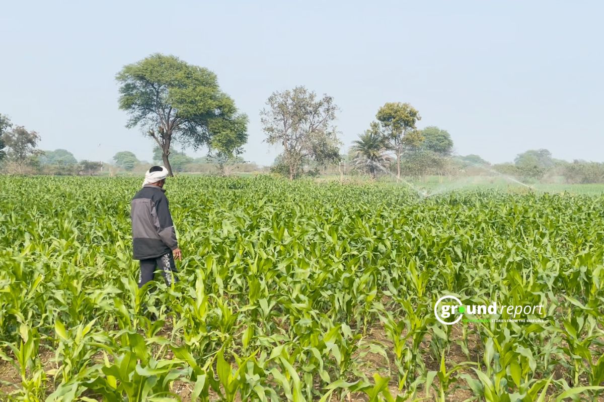
How Two Farmers in Madhya Pradesh Reimagined Their Fields Through Agroforestry
Explore how agroforestry transformed a family farm in Madhya Pradesh, enhancing yields and sustainability through intercropping.
AGRICULTURE
BIODIVERSITY

ENERGY


HEALTH

ग्राउंड रिपोर्ट हिंदी
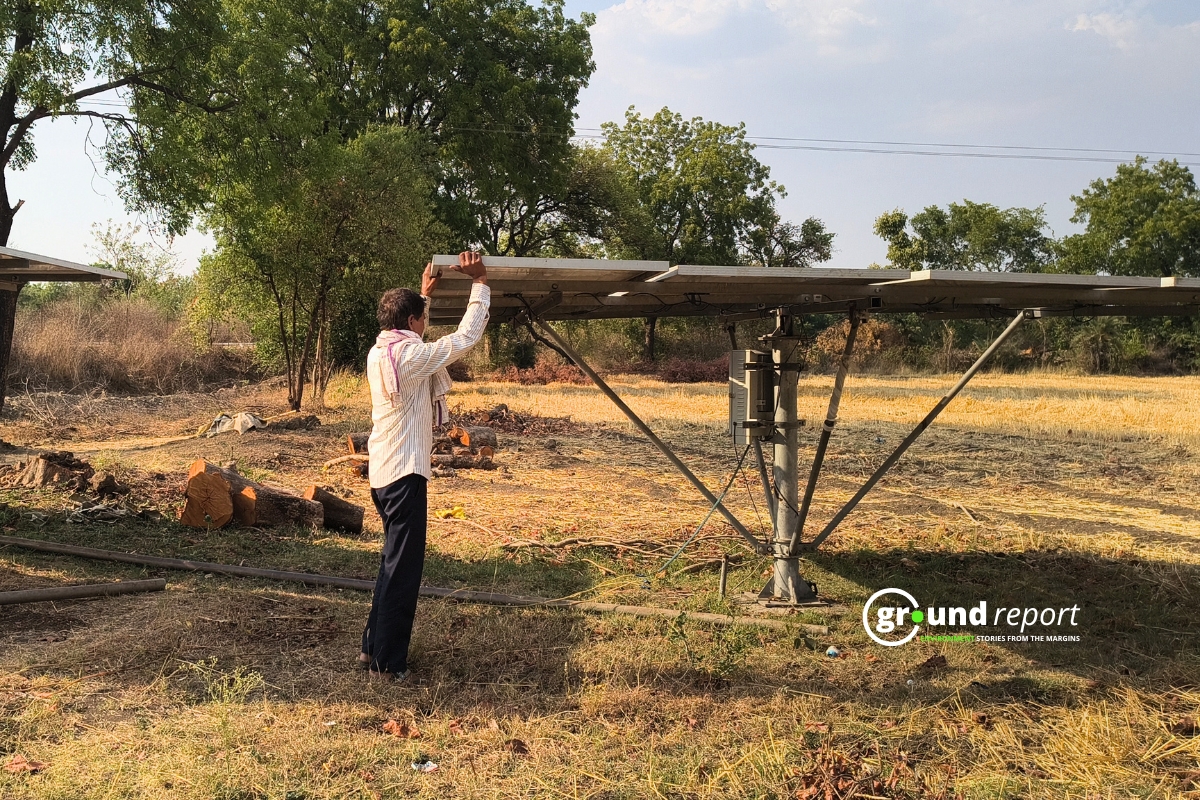
सोलर पंप योजना से अंजान क्यों हैं नहरों वाले किसान?
मध्य प्रदेश में सरफेस वॉटर सोलर पंप की अनदेखी की जमीनी पड़ताल