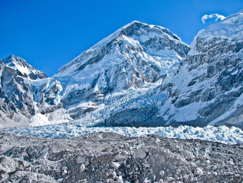
Glaciers are one of the main reserves of fresh water on our planet, and their evolution is one of the best indicators of climate change. However, the study of its growth or thaw rate ran into the problem of the scarcity of data on a regional scale.
The Earth observation satellites have made it possible to make the first map showing the evolution of the thickness of the Himalayan glaciers.
In a study published yesterday by the journal Nature, a team of scientists combined data collected by different space missions and determined that glaciers in the Hindu Kush-Karakoram-Himalaya (HKKH) region had lost 12 billion tons a year in the period 2003-2009, a rate much higher than that indicated in previous studies.
The HKKH is a group of mountain ranges that extend more than 2,000 km in Asia, and that contain some 60,000 square kilometers of glaciers and perennial ice in a great variety of climatic conditions. These ice masses react in a complex way to changes in the climate, which makes it difficult to analyze their evolution on a regional scale.
Data collected by satellites are an effective method for assessing glacier evolution on a regional scale and have made it possible to make the first estimate of ice mass in the entire HKKH region.
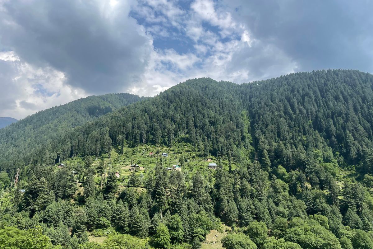
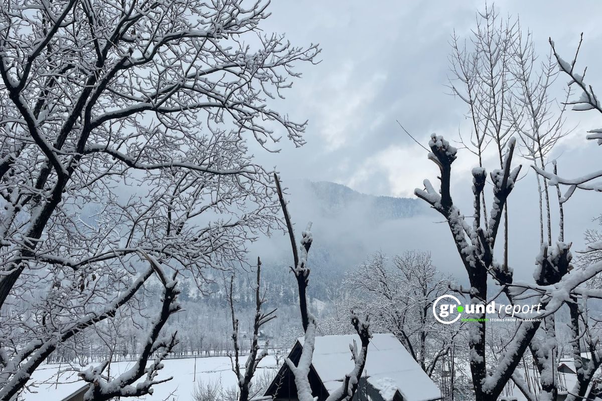
In the Jammu-Kashmir subregion the rate of glacier thinning reached 0.66m per year, while slightly further north and west, in the Karakoram region, rates were 10 times slower. The melting of this region contributes almost 1% to the rise in sea level on a global scale and constitutes 3-4% of the total contribution of all the planet’s glaciers and the polar caps.
On average, the HKKH glaciers lost 0.26 m per year, with large variations on a subregional scale depending on the different climatic and glaciological parameters.
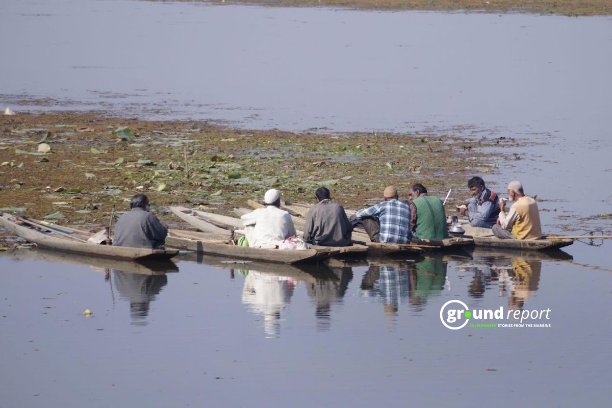
However, the displacement of these glaciers has a direct effect on the nearby basins of the Indus and Ganges rivers, of great importance for the lower, densely populated regions. The melting of glaciers accounts for between 2% and 3.5% of the total discharge to these great rivers, a contribution that increases to touch 10% in the upper Indus basin.
Support us to keep independent environmental journalism alive in India.
Keep Reading
MP farmers battle stray animals, sleepless nights to protect crops
Indore’s Pipliyahana Lake struggles to survive, even after conservation measures
Costliest water from Narmada is putting financial burden on Indore
Changing weather pattern impacts soybean crops in Dewas region of MP
Follow Ground Report on X, Instagram and Facebook for environmental and underreported stories from the margins. Give us feedback on our email id greport2018@gmail.com.
Don’t forget to Subscribe to our weekly newsletter, Join our community on WhatsApp, Follow our Youtube Channel for video stories.
