When the GIS (geographic information system) was first developed, its main purpose was to serve the military sector. Today, the spectrum of its applications goes far beyond that. Not only governments, but public and private entities can leverage the power of this technology. Urban planning, agriculture, environmental monitoring — these are only a few spheres that benefit from GIS the most. Other potential applications include health studies, resource inventory and monitoring, used land evaluation, biological control, social and economic planning, disaster management, and much more.
In fact, geospatial technologies are one of the main forces that push development initiatives across countries and industries. GIS, satellite imaging, and location-based services are ensuring advanced geospatial data analysis to help us move the world towards a sustainable future. Let’s see how this works in different domains, starting with one of the most active users of satellite data.
Agriculture and Food Security
The agriculture and food security sector faces many challenges. Climate change is expected to have an impact on all components that affect food safety: availability, accessibility, stability and consumption. Overall food availability is dependent on changes in crop yields as well as changes in arable land.
More so, agriculture today is under constant pressure to produce more food to feed a growing population; contribute to the overall development of the many developing countries dependent on agricultural production; adopt more efficient and sustainable production methods; adapt to climate change and find effective ways to deal with uncertainties. And that is where technology comes in.
GIS enables agricultural producers to make data-based decisions, optimize the use of resources, and increase overall productivity. Growers can apply water, fertilizers, and pesticides with precision and efficiency, relying on satellite data on soil composition, moisture levels, and crop growth stage, etc.
Geospatial data analysis in agriculture is also critical when it comes to the efficient management of food supply chains. GIS allows for integrating data on farm locations, transportation routes, and market demand, which leads to optimization of the entire logistics and distribution process.
EOSDA Crop Monitoring As An Example Of Agriculture GIS Software
Among many GIS tools developed for various agricultural purposes is EOSDA Crop Monitoring — an online platform for precision farming that utilizes satellite imagery analytics. Here users can access data on crop health dynamics, weather, field activities, field productivity, crop rotation, and so much more. The software also has a mobile version to ensure effective scouting.
Knowing how important it is to visualize and analyze data collected by machinery, EOSDA Crop Monitoring provides such an opportunity via its Data Manager feature. This enables users to analyze the field activity performed by the vehicle and evaluate its effectiveness.
Based on data from previous years, farmers can also create field productivity maps to identify most and least productive areas. With this information, they can plan precise and smart input applications, which means less waste and higher profits.
If there is a need to compare the current state of the field with one in the past, the tool offers a Split View feature, which can also be used to check crop performance based on two different indices on the same date.
There is a lot more to tell about what this software can do, but all-in-all, it uses the power of geospatial data analytics to provide valuable insights to agricultural players and allow for data-based decision-making.
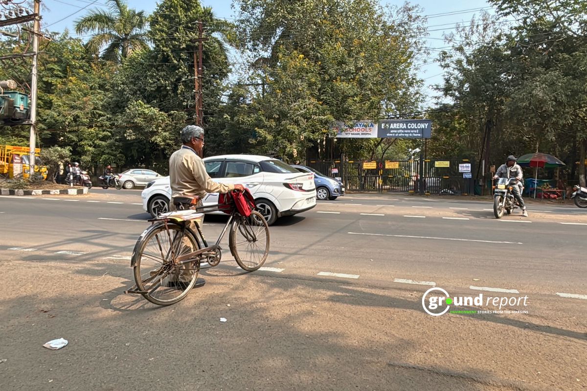
Urban Planning and Infrastructure Development
Thanks to the advanced capabilities of GIS, all decisions that may affect the urban space (decision on the use of urban area, specific to each building block, building and settlement conditions, restriction zones, plan application files, geological survey information and cancellation of planning decisions) can be stored in GIS format without data loss. Besides, this data can be easily edited. Extensive searches and analysis of the urban environment can be performed using the GIS data for smarter city planning.
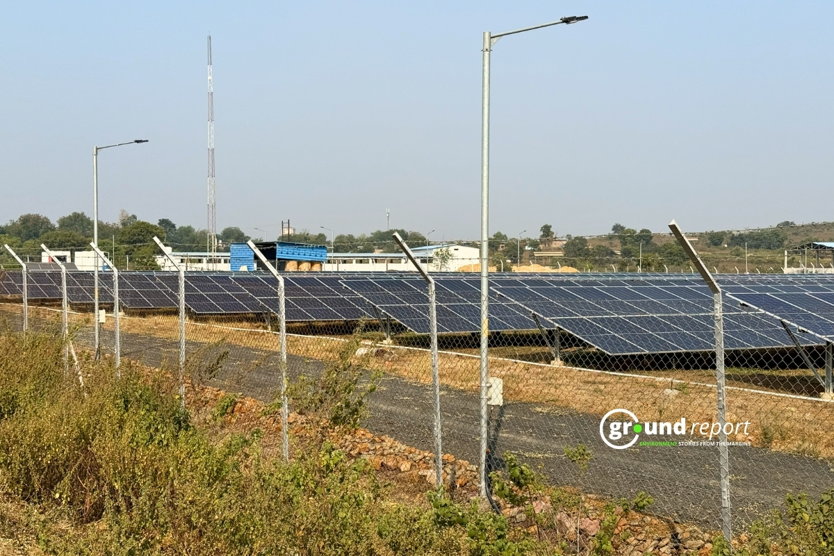
Natural Resource Management
Currently, considerable attention is paid to the issues of environmental protection and rational use of natural resources. The solution requires an integrated approach, which implies the use of large volumes of environmental, cartographic and other quantitative information on the state of the environment. The most promising methods of processing such volumes of information today are methods based on the use of computer geoinformation technologies. Tools on the geospatial data analytics market allow simultaneous analysis of multidimensional data using digital maps, simplify the procedures of environmental forecasting and assessment of complex impact on the natural environment, and make it possible to promptly identify anomalies and take the necessary measures to eliminate them.
Land Degradation
Satellite images are a rich source of information on soil degradation. Even in hardly accessible, remote areas of the world, such imagery makes it possible to detect flooding, desertification, deforestation, salinization, and more.
This information is critical to land use planning, especially when there is a constant reduction in the size of land suitable for agricultural purposes.
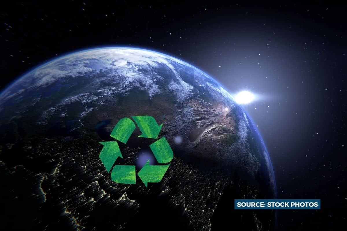
The integration of real-time geospatial data analysis into different development strategies across industries represents not just an advancement in technology but a profound shift in perspective. It paves the way for a world where progress doesn’t undermine sustainability, and human ambitions coexist in harmony with the planet’s health.
Support us to keep independent environmental journalism alive in India.
Keep Reading
MP farmers battle stray animals, and sleepless nights to protect crops
Pesticides and agriculture threaten Sarus Cranes at Indore’s Yashwant Sagar wetland
Changing weather patterns impacts soybean crops in the Dewas region of MP
Follow Ground Report on X, Instagram and Facebook for environmental and underreported stories from the margins. Give us feedback on our email id greport2018@gmail.com.
Don’t forget to Subscribe to our weekly newsletter, Join our community on WhatsApp, Follow our Youtube Channel for video stories.