Jun 15 that is today Uttarakhand, Uttar Pradesh, remain cloudy with strong winds from the middle of Madhya Pradesh, Rajasthan, Bihar, Punjab and Haryana lightning fears and run by strong winds
Ground Report | New Delhi: The progress of monsoon is likely to slow down over the rest of north-west India due to the arrival of westerly winds of mid-latitude, according to the India Meteorological Department (IMD). The Meteorological Department has said that the progress of monsoon is being continuously monitored and information will be given daily.
A Low Pressure Area is over Northwest Jharkhand and Neighborhood, with the associated cyclonic circulation extending up to mid-tropospheric levels, which appears to move southwestwards with height. It is very likely to move west, northwest. A Trough is running from West Rajasthan to Northeast Bay of Bengal in Lower Tropospheric Levels and another Trough is extending from East Central Arabian Sea to South Konkan in Middle Tropospheric Levels.
ALSO READ: Swedish think tank: India and Pakistan increase nuclear stockpiles
Rainfall likely over most parts of East, Central and Northeast India
Lightning, rain and heavy rainfall at isolated places very likely over most parts of East, Central and Northeast India during next 4-5 days. Light to very heavy rainfall is very likely to occur over this region during next 3 days and very heavy to very heavy rain at isolated parts of Bihar today, i.e. 15th June.
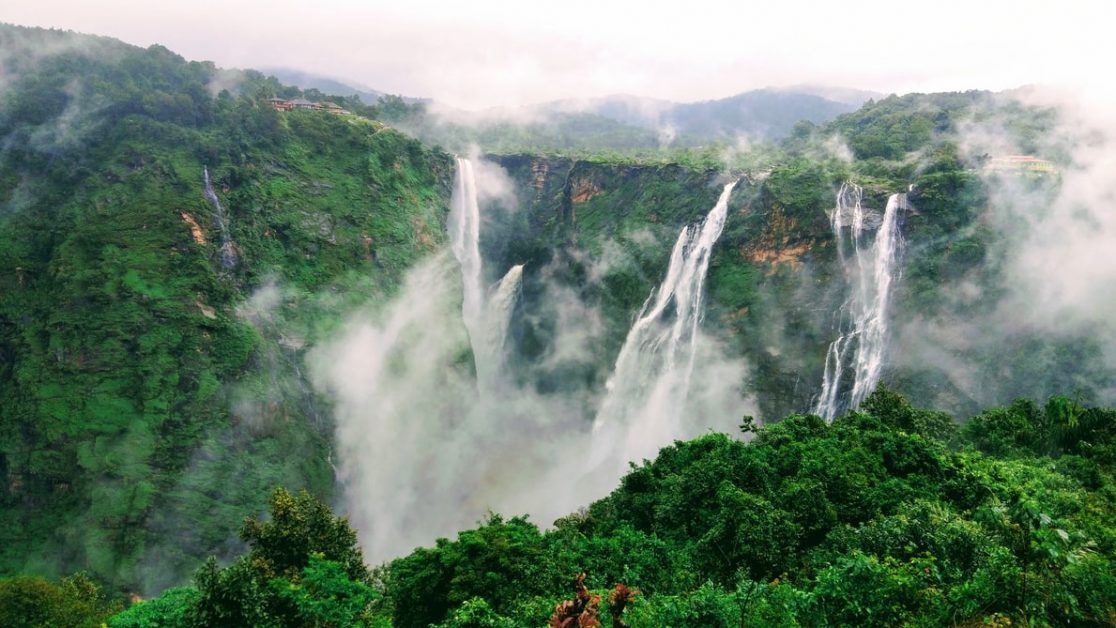
Thunderstorms, heavy rain and lightning are expected over Konkan and Goa, Karnataka and Kerala in the next 3 days. Today, 15th June, very heavy rainfall has been forecast over Konkan and Goa and Coastal Karnataka as well.
During the next 2 days, most parts of Northwest India have been predicted with rain, lightning and light rain at a few places. Rainfall activity has reduced except in East Uttar Pradesh where torrential rains are likely to continue.
Very heavy to very heavy rainfall is very likely over East Uttar Pradesh during next 5 days and very heavy to very heavy rainfall is very likely over East Uttar Pradesh today, 15th June.
Jun 15 that is today Uttarakhand, Uttar Pradesh, remain cloudy with strong winds from the middle of Madhya Pradesh, Rajasthan, Bihar, Punjab and Haryana lightning fears and run by strong winds. The fear of injury and casualties to people and animals living outside has been expressed.
ALSO READ: Scientists predicate nuclear war between India and Pakistan in 2025
How will be the weather conditions Today
Today Konkan and Goa, Coastal Karnataka has predicted heavy to very heavy rainfall at some places. Torrential rains are very likely at isolated places over East Uttar Pradesh and Bihar and very heavy to very heavy at isolated parts of Interior Karnataka, Kerala and, Jammu and Kashmir, Ladakh.
Today, heavy rain is expected at isolated places over Himachal Pradesh, Uttarakhand, Punjab, Haryana, Chandigarh and Delhi, West Uttar Pradesh. Heavy rain will also occur in isolated parts of Madhya Pradesh, Vidarbha, Chhattisgarh, Jharkhand, West Bengal and Sikkim, Odisha, Arunachal Pradesh, Assam and Meghalaya, Nagaland, Manipur, Mizoram and Tripura, Madhya Maharashtra and Tamil Nadu, Puducherry and Karaikal.
You can connect with Ground Report on Facebook, Twitter, and Whatsapp, and mail us at GReport2018@gmail.com to send us your suggestions and writeups


