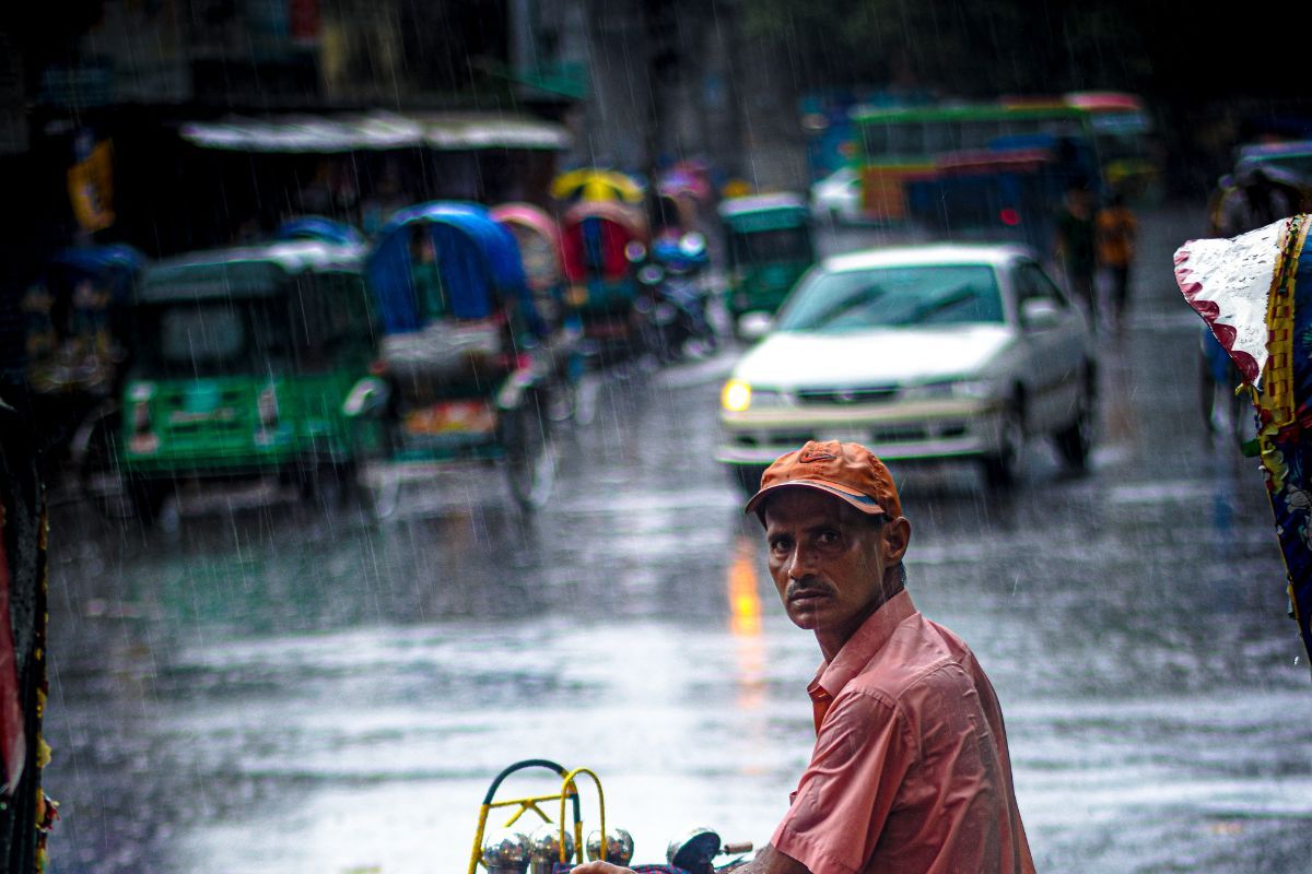
Houston most populous city in the U.S. state of Texas is set to experience a shift in weather as humidity and scattered showers return Sunday evening into Monday morning. While most of the city will see mild conditions, areas to the north face the potential for isolated strong storms.
According to meteorologists, the Storm Prediction Center has placed parts of Brazos Valley and Piney Woods under a slight risk (level 2 out of 5) for severe weather, while the northern portions of the Houston metro remain under a marginal risk (level 1 out of 5).
Warm and humid days ahead
A Severe Thunderstorm Watch has been issued for several northwest counties until 1 a.m. Monday. Weather experts say that the storms could bring damaging wind gusts and large hail. While there is no major flood threat, heavy rain in isolated areas could lead to brief travel disruptions. As always, Houston residents are urged to stay weather-aware and check local forecasts for updates.
After Monday morning’s possible rain, the forecast looks mostly quiet and warm for the rest of March. The biggest change will be in morning temperatures. Houston has seen several days of cool starts in the 40s and 50s, but those are coming to an end. Going forward, morning lows will remain in the 60s, making for warmer and more humid starts to the day.
Afternoon temperatures will also climb. Highs in the 80s are expected through at least the beginning of April, keeping Houston well above average for this time of year. The rising heat, combined with Gulf moisture, will keep humidity levels high, making it feel even warmer.
Next rain chance arrives late week
While early-week weather will be mostly dry, rain is expected to return by the end of the week. A slow-moving cold front could bring scattered showers and storms on Thursday and Friday, increasing the chance of rainfall for Southeast Texas. The exact timing and severity of these storms are still uncertain, but forecasters will continue tracking developments.
For now, Houston residents should prepare for warmer days ahead, monitor weather alerts, and be ready for possible stormy conditions Sunday night into Monday morning. Checking the radar before heading out and staying updated with the latest forecasts will help ensure safety as the weather changes.
Support us to keep independent environmental journalism alive in India.
Keep Reading
Why does India use lower Pesticides per hectare of cropland than other countries?
Cotton arrivals increase in Madhya Pradesh, prices remain stable
Increasing debt and declining landholdings in agriculture, says NABARD survey
How bamboo fabric is better for environment than cotton?
Follow Ground Report on X, Instagram and Facebook for environmental and underreported stories from the margins. Give us feedback on our email id greport2018@gmail.com.
Don’t forget to Subscribe to our weekly newsletter, Join our community on WhatsApp, and Follow our YouTube Channel